EARTHTRACERS high-value Geographic Information Systems (GIS) consultancy and implementation services to all sectors of government and business.
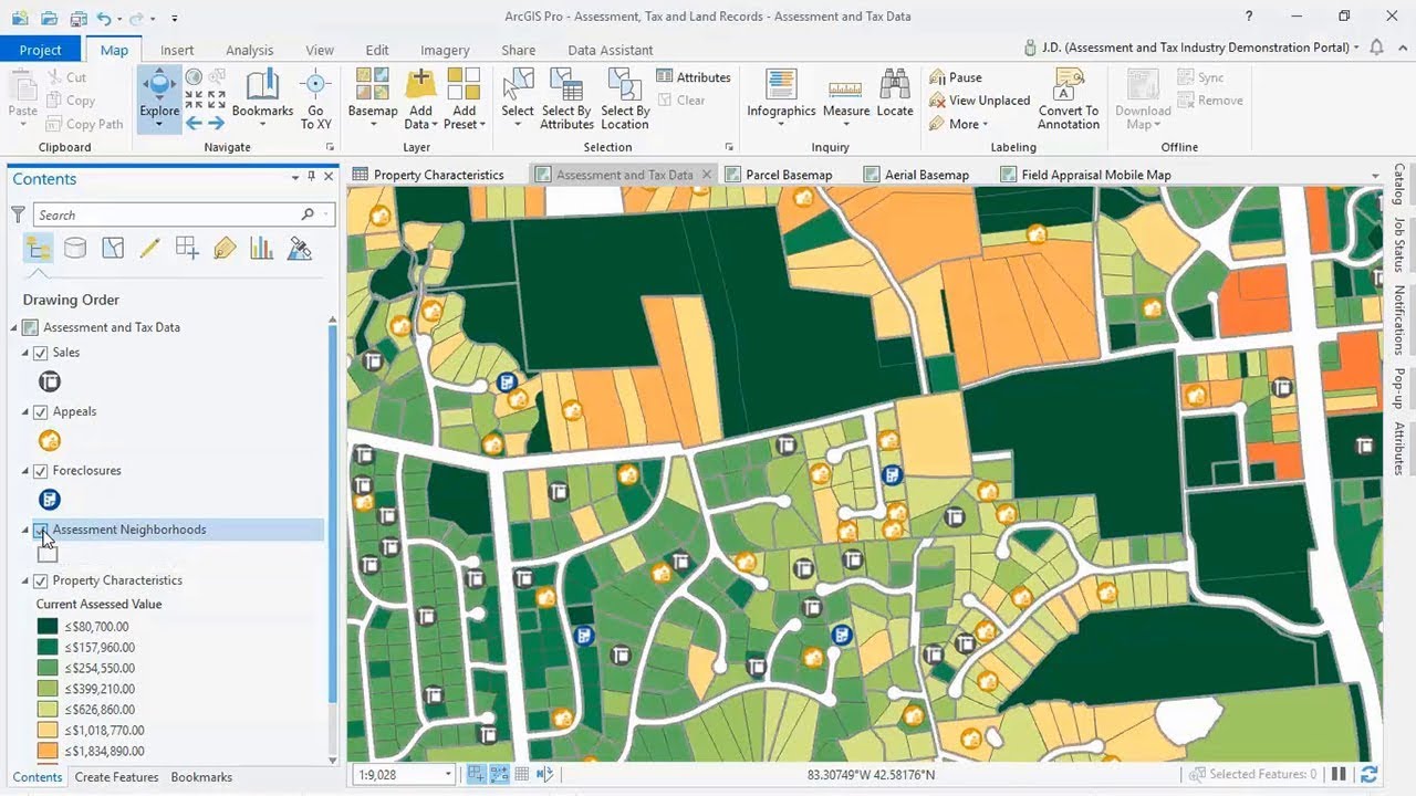
EARTHTRACERS is a leading provider of GIS services. We offer tailored solutions that unlock geospatial potential to satisfy your business needs. Our geospatial experience encompasses utilities, construction, urban planning, defence, and emergency management, as our solution architects and developers have encountered problems in several sectors. We bring the best of our team's technical knowledge and experience to produce a quality solution that works for you.
We provide a digital traces across the world, which means designing, creating, planning, and transforming the real world into a digital platform.
Providing high value GIS consultancy, Software, Hardware and Implementation services - to all sectors of government and business
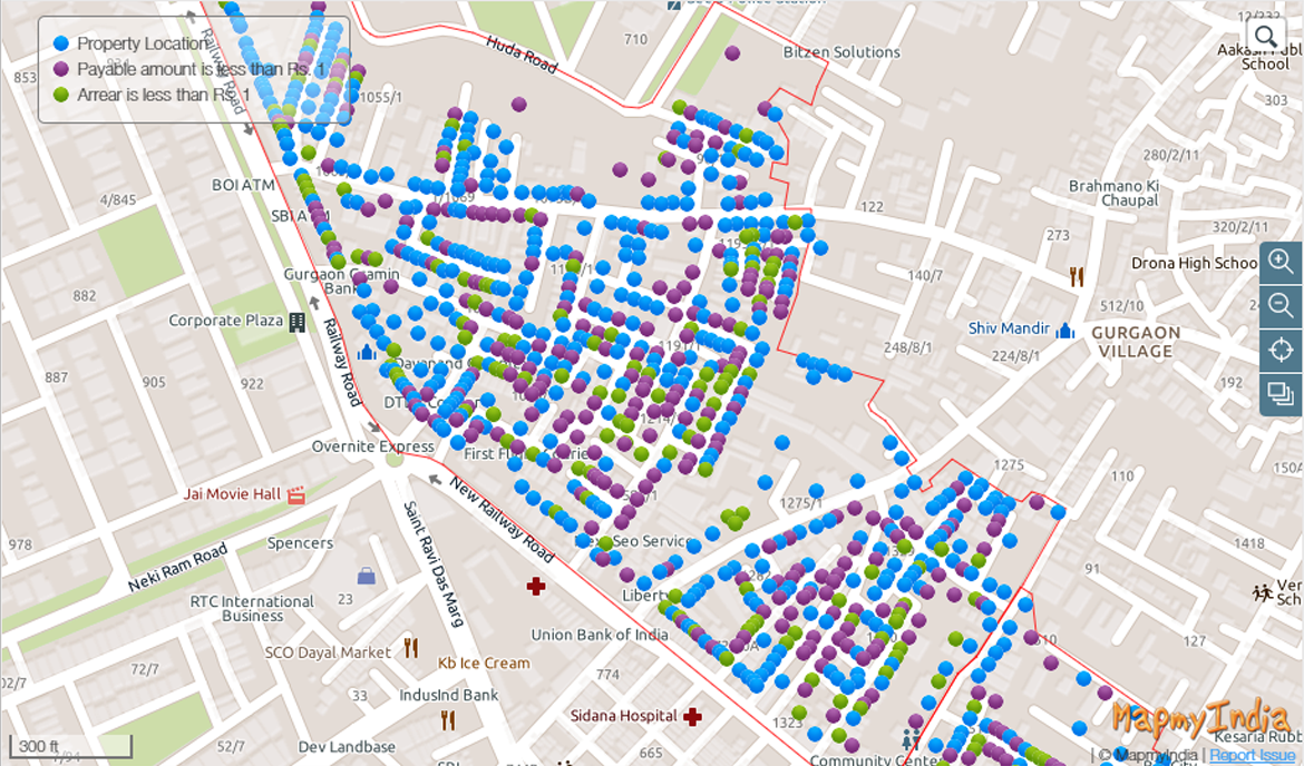
Geographical Information System (GIS)
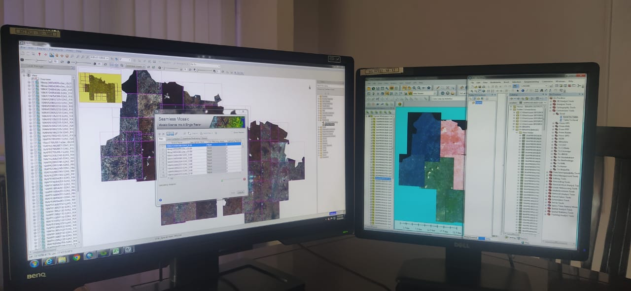
Remote Sensing (RS)
WebGIS & Web Development
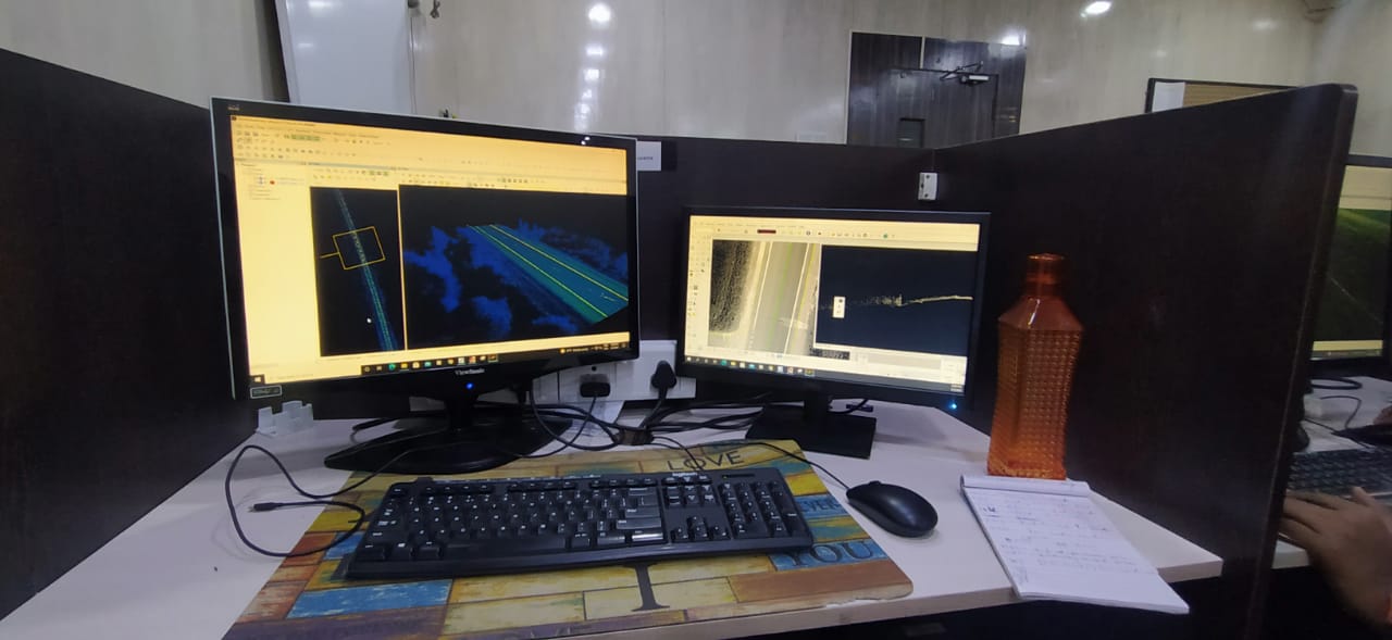
LiDAR
Digital Photogrammetry
Ocean Numerical Modelling & Artificial Intelligence
Global Navigation Satellite System (GNSS or GPS)
UAV Processing
Surveying (Unmanned Aerial Vehicle and Field Surveying)
Civil Plan
CERTIFICATE COURSE IN GEOGRAPHICAL INFORMATION SYSTEMS.
To Apply Online (Click Here)We are expertise in Geo-Spatial Data Processing Services, Photogrammetry, LiDAR, Mobile/UAV Processing, GIS Modeling and CAD & GIS Services
EARTHTRACERS can provide quality, cost-effective GIS and desktop mapping services for a range of applications including asset management, demographic analysis, environmental projects, agribusiness, mineral exploration, mining production and fire management.
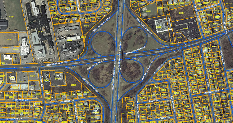
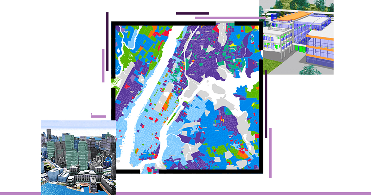
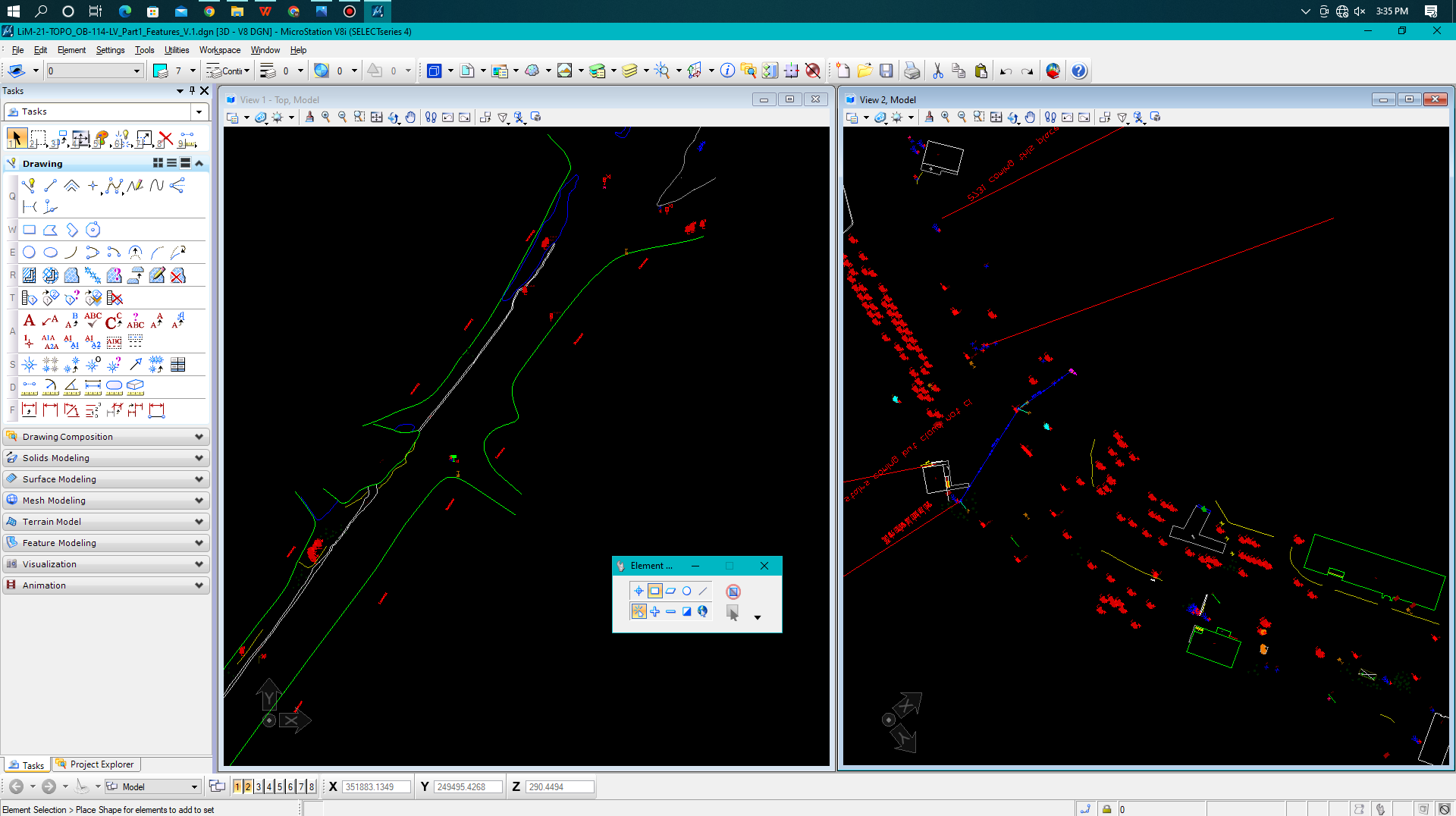
We offer data creation, data analysis, digitizing, geospatial analysis, data auditing/cleansing, thematic mapping and 3D data visualisation. We have vast expertise in migrating CAD data to GIS environments and remediating poor quality engineering datasets.
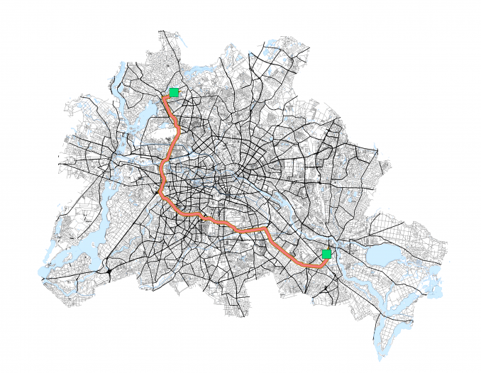
Our consulting services include preparing and implementing enterprise geospatial strategies, linking enterprise software to GIS software and deploying web mapping systems that deliver information across an agency, from customer service to remote field staff.
EARTHTRACERS are experienced in documenting business requirements and assisting with geospatial project design, management and delivery. We also offer a remote GIS bureau service for rural and remote Local Governments that find it difficult to maintain a full time professional role in their organisation.
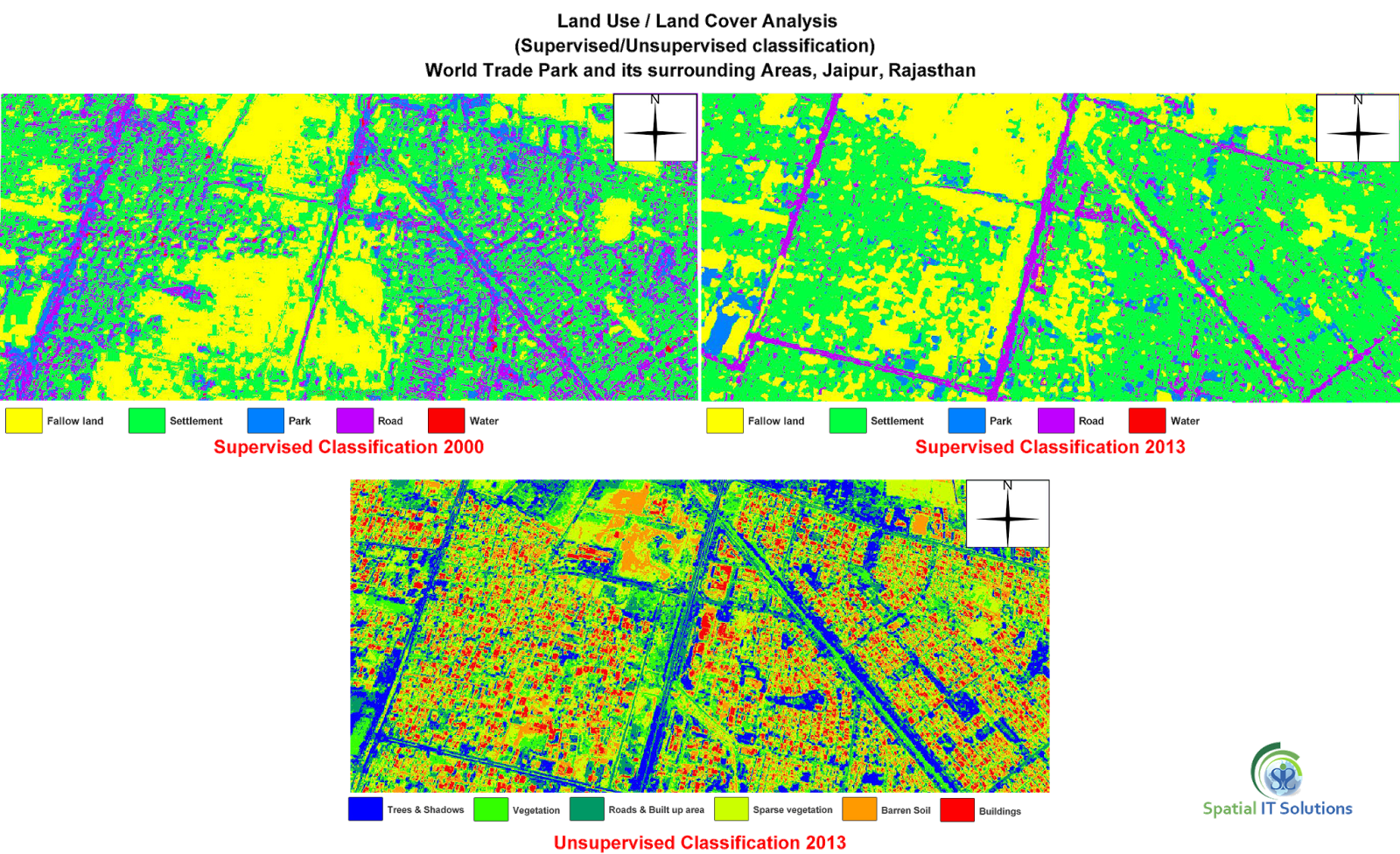
Whether it is satellite based, airborne or captured using our industrial survey grade drones, we can analyse remotely sensed data to detect and model, environmental health and vigour, operating temperature conditions or conduct volumetric calculations of stockpiles and quarries using a wide variety of technologies.
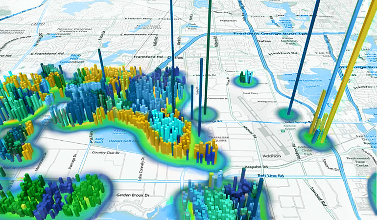
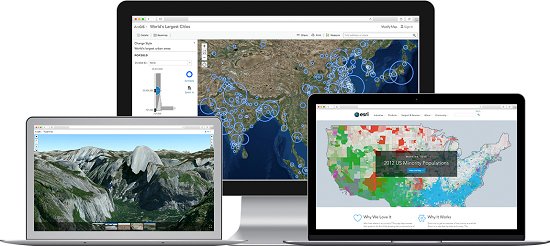
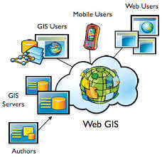
WebGIS is an advanced form of geospatial Information System. A web GIS is computer software and hardware configuration that allows the sharing of maps, spatial data, and geographic processing operations throughout one’s own network and beyond using common web communications protocols such as HTTP. The exchange of information takes place between a server and a client, where the server is a Geospatial Information System (GIS) server and the client is a web browser, mobile application and desktop application.
The server has a unique Uniform Resource Locator (URL) so that clients can find it on the web. WebGIS brings GIS into the hands of the people.
Web GIS isn’t about outperforming desktop GIS or even competing with it. It’s about making the power of GIS available to everyone.
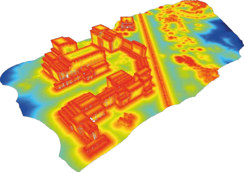
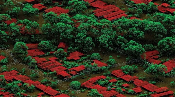
LiDAR (Light Detection and Ranging) is a Remote Sensing Method that uses light in the from of a pulsed laser to measure ranges (Variable distances) to the Earth.
These light pulses-combined With other data recorded by the airborne system generate precise,three dimensional information about the shape of the earth and it's surface characteristics.
Airborne Laser Scanning (ALS).
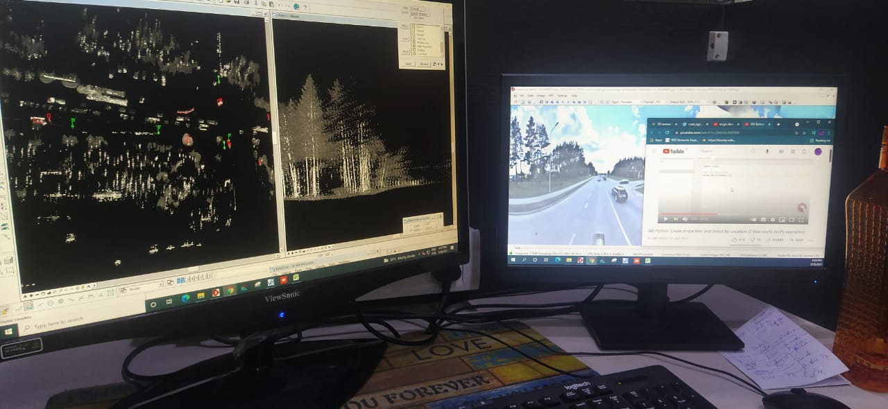
Mobile Laser Scanning(MLS).
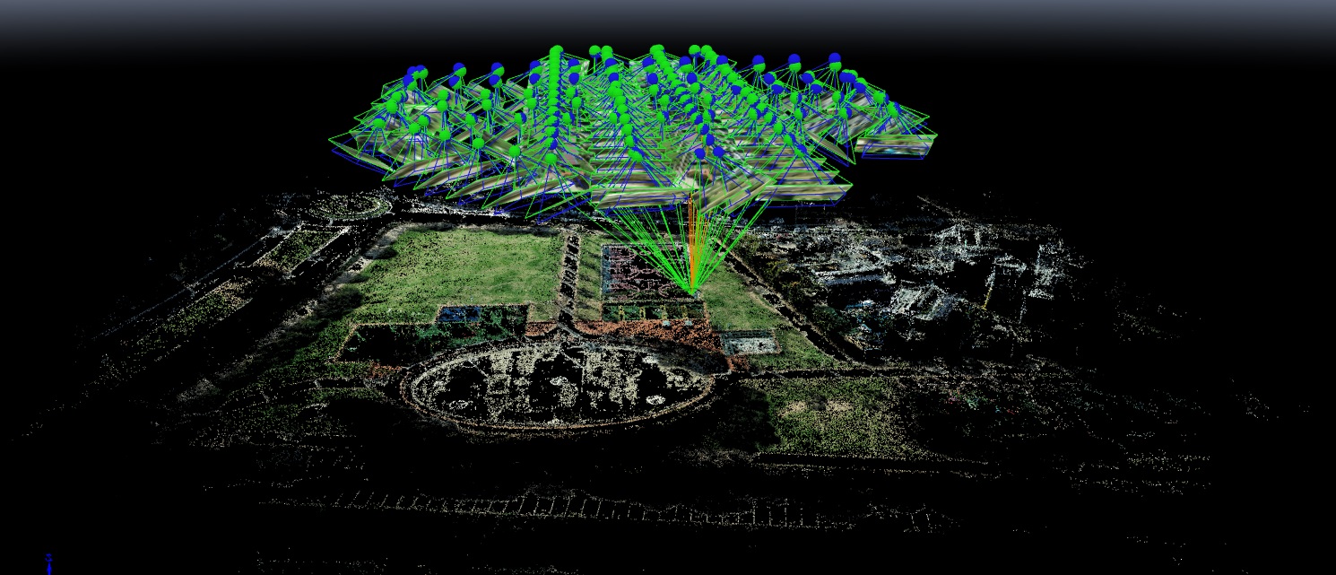
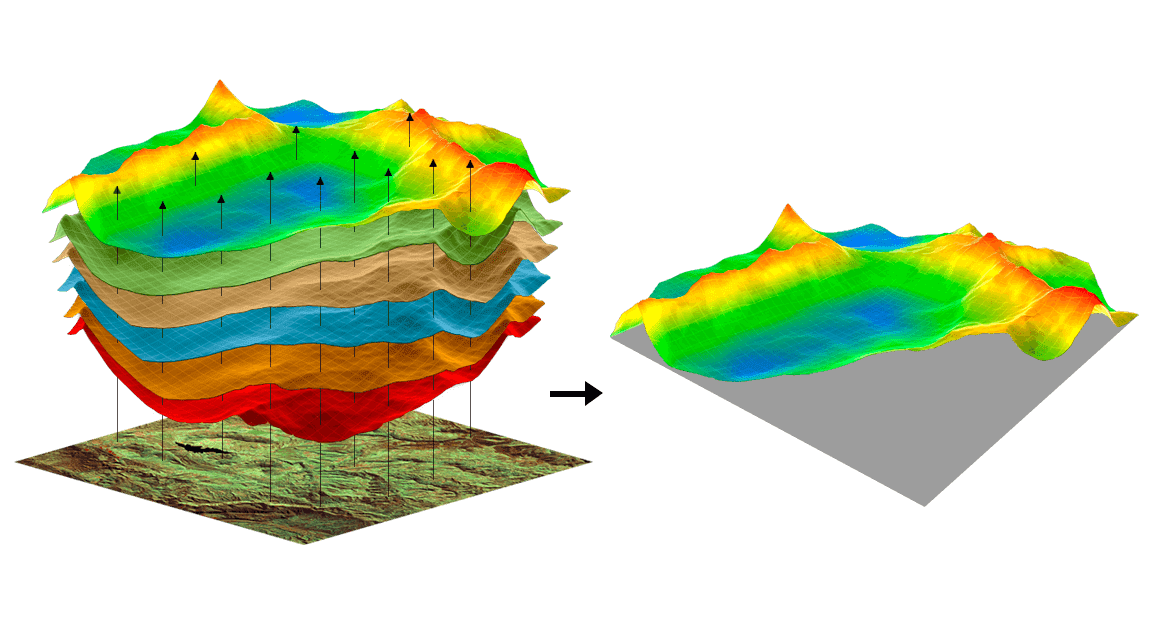
The Earthtracers uses the Photogrammetry technique for the compilation of a real terrain into digital maps, this technique requires a processed output of Aerial images and analytical data's for providing a three dimensional data. This technique is mostly used to minimize the human errors and brings a accurate measurements for land survey.
Photogrammetry provides the elevation datasets like DEM points, Contours and DTM/DSM.
Also the processed output data is used for Urban development and Industry development. Since Urban development i.e., Structural as well as Innovative plans plays a vital role in Physical & economical status of a country with time to time.
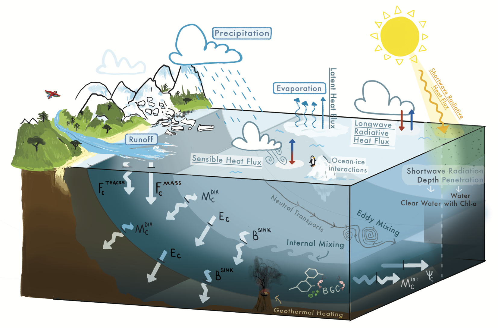
We handle various ocean numerical models such as TELEMAC, Mike21, ADCIRC+SWAN, WAM, GNOME, and DELFT3D for coastal and ocean studies, including shoreline management studies, EIA studies, pollution management plans, disaster management plans, storm surge studies, dispersion of brine waste discharges from a coastal desalination plant, hydrodynamics studies in the delta's nearshore and offshore regions, and coastal stability studies in the port area.
We are analysing oceanographic data and forecasting using soft computing approaches.
When it comes to mobile mapping, it’s important that your systems are reliable and easy for your fieldworkers to use, without sacrificing project outcomes.
EARTHTRACERS was born in the field. Mobile mapping and GPS data capture are in our DNA so we understand the challenges of working outside in the heat and the cold, in the humid and wet conditions.
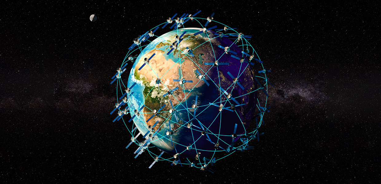
UAVs or Drones have many uses, from simple Aerial Photography & Videography to more complex tasks such as Aerial Surveying & performing close proximity Asset Inspections.
UAV applications and services are only limited by the payloads. With EARTHTRACERS utilising a wide arrange of payloads from RGB, Multispectral & Thermal cameras, we are able to provide a large number of unique services to many industries.
Our recent project experience includes scenic imagery, pest and weed monitoring, 3D terrain modelling and precision horticulture. With a team that holds post-graduate qualifications in remote sensing and hyper-spectral imaging, we’re specialists in processing aerial data into information.
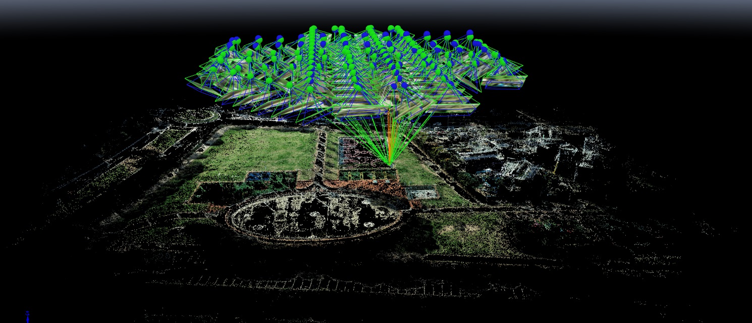
Surveying and Mapping is a discipline which integrates acquisition, modeling, analysis, andmanagement of geo-spatial reference data. Based on the scientific framework of geodesy, ituses terrestrial, marine, airborne, satellite-based sensors, and measurement systems andtechnologies to acquire spatial and other data.
A drone survey refers to the use of a drone, or unmanned aerial vehicle (UAV), to capture aerial data with downward-facing sensors, such as RGB or multispectral cameras, and LIDAR payloads.
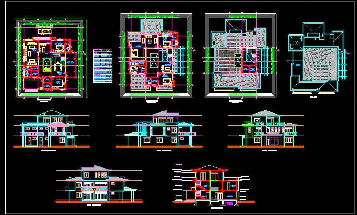
GIS allows civil engineers to manage and share data and turn it into easily understood reports and visualiza- tions that can be analyzed and communicated to others. This data can be related to both a project and its broader geographic context.
Providing high value GIS consultancy, Software, Hardware and Implementation services - to all sectors of government and business
GIS Expert & Technical Advisor
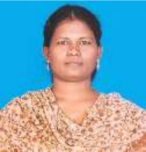
Ocean Numerical modelling and Artificial Intelligence
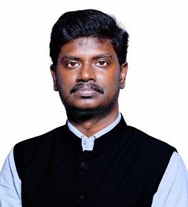
Senior Photogrammetry Engineer
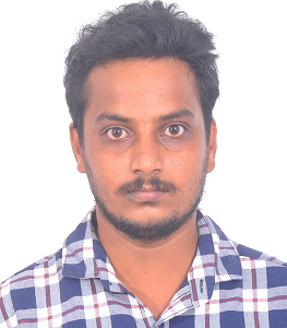
GIS Analyst
Respect We encourage different opinions and the development of strong relationships based on mutual trust and understanding.
Integrity We value honesty, responsibility and professionalism. We do what we say we will do.
Accountability We empower our staff to deliver on their commitments and strive to exceed expectations in delivering value to our clients and colleagues.
Responsiveness We drive delivery and provide high quality, timely advice to our clients.
Passion We are engaged in what we do and take pride in the quality of work we deliver.
Help us provide you with more information about our Geo-Spatial Services. Please fill out the form below. We would be happy to work with you!